Immersive UX Concept
AR-Based Wayfinding
Navigation
Reimagining Campus Navigation with Augmented Reality
Project Overview
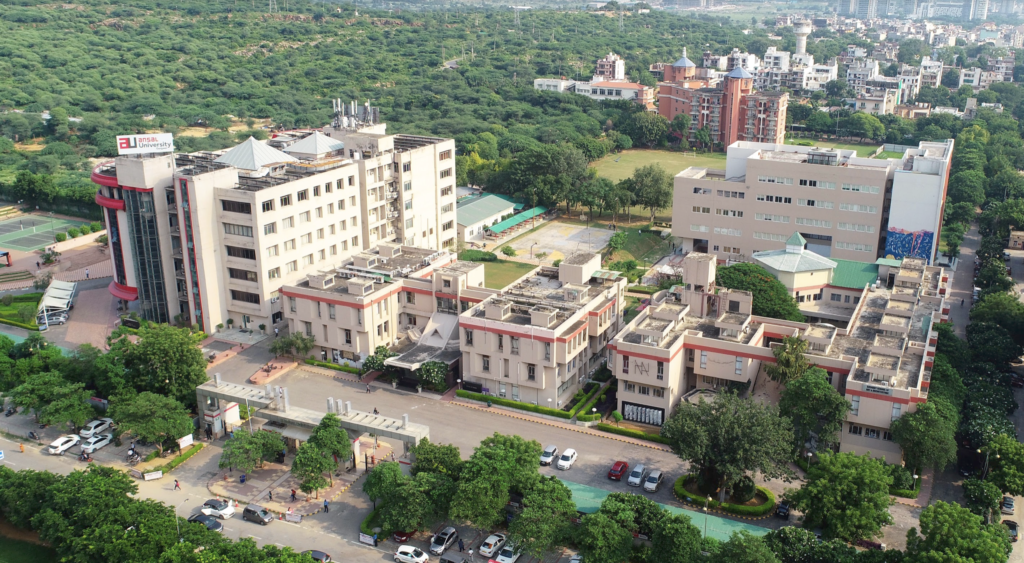
University campuses are inherently complex, multi-layered environments that are notoriously difficult to navigate. Traditional 2D maps and static physical signage are inefficient, leading to persistent confusion.
As a result, new students, faculty, and visitors frequently get lost, arrive late to critical engagements, and waste significant periods deciphering campus layouts.
The Goal
To architect a futuristic, AR-based navigation application that provides seamless, real-time spatial guidance across large campus infrastructures.
The Problem
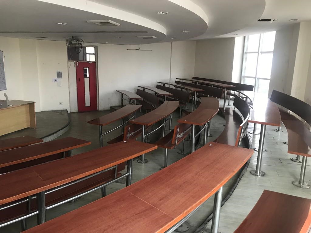
Students and visitors experience high cognitive load and spatial disorientation when arriving at sprawling university grounds. Finding specific classrooms, locating obscure departments, and navigating multi-building complexes relying strictly on static cues results in severe frustration.
Target Users
Design Process
A structured approach to spatial problem solving.
Discover
ResearchDefine
SynthesisDevelop
IdeationDeliver
PrototypingDiscover Phase
Campus Constraints
Initial mapping revealed that 65% of students struggle to find specific rooms in secondary wings. Static maps require individuals to internally translate a flat 2D blueprint into their 3D surroundings—a high-friction mental process.
Furthermore, GPS fails indoors, leaving users entirely blind once they enter massive academic blocks.
Key Insights
Signage Clarity
Current signs are easily ignored, outdated, and lack micro-level navigation cues.
Time Wastage
An average of 10-15 minutes is wasted per new campus visit searching for specific venues.
Real-Time Deficit
Users desire step-by-step contextual guidance exactly relative to their current heading.
Indoor Blindspots
Traditional navigation maps break down upon entering multi-floor architecture.
User Persona
Yash Mishra
Freshman Student / First-Time VisitorGoals
- Navigate from the main gate to specific lecture halls seamlessly.
- Explore the campus without the anxiety of getting profoundly lost.
- Find quick routes to amenities like cafeterias and libraries.
Pain Points
- Extremely disoriented by building abbreviations and confusing wings.
- Anxious about walking into the wrong classrooms late.
- Hates constantly asking strangers for directions.
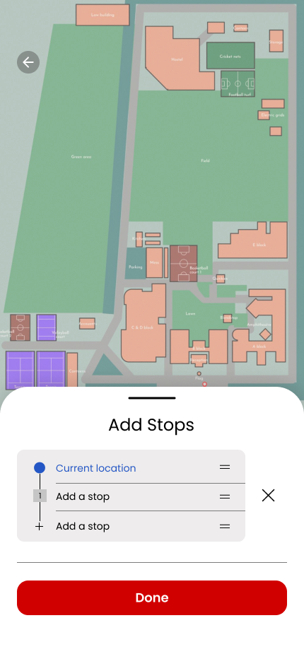
The Solution
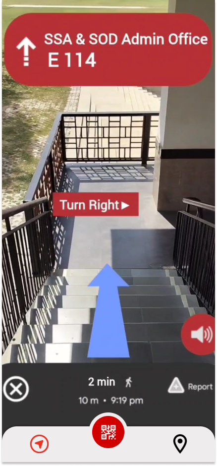
An AR-Based Wayfinding System that eradicates mental spatial translation. By projecting dynamic, real-time directional overlays directly onto the physical environment through the mobile camera, users receive deterministic pathfinding.
Activation Sequence
Open Application
User selects destination from the campus directory.
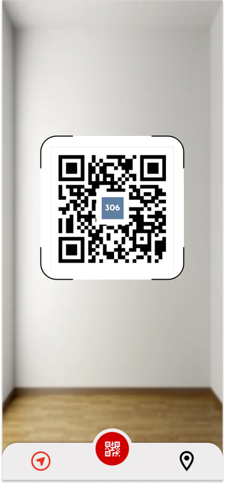
Scan Environment
VPS (Visual Positioning) locks onto building facades.
Overlay Generation
Holographic AR path anchors to the floor dynamically.
Follow Directions
Real-time updates guide the user directly to the door.
Core Mechanics
Augmented Path Overlays
High-contrast, floating directional paths mapped directly onto physical surfaces in 3D space, preventing any directional ambiguity.
Real-Time Context
Floating digital markers highlighting points of interest, departments, and utility rooms as you physically look at them through the lens.
Indoor Seamlessness
Transitioning from GPS outdoors to Bluetooth Beacons & visual positioning indoors to maintain tracking on multi-floor buildings.
Minimal HUD Interface
A transparent, non-obstructive heads-up display showing ETA, distance, and immediate upcoming turns without cluttering the screen.
Interface Designs

User Flow
Final Outcome
Implementing AR Wayfinding shifts the university infrastructure into the future. It drastically reduces traversal latency, eradicates systematic orientation anxiety, and provides a uniquely premium, highly accessible technological experience for every visitor.